Explore residential streets, business trick-or-treats and public fall celebrations across 21 cities and communities. Read dated local accounts, compare research baselines and save a shortlist for your family.
59 area guides21 cities & communities18 official area outlines
Outlines = Portland association areas. Dots = approximate city or public-place pins.
How our editorial scores work
One point for each documented signal: a published local-guide recommendation, decorations described in a guide or public community account, reported Halloween participation, a second independent publisher’s recommendation, and an organizer-listed 2026 Halloween or fall event. Reddit comments are anecdotal and do not count as independent publisher endorsements. Only reviewed neighborhoods receive a score; unknown signals earn no point. This measures the evidence behind a shortlist, not candy quality, safety or every block’s experience. Publisher recommendations may be subjective and sources from 2016–2025 describe past seasons. Visitor ratings below are separate.
Map sources & scope
City of Portland GIS provides the 18 association outlines. They are not designated trick-or-treat routes. New metro dots use sourced representative city/community or public-place coordinates; several guides can share a city pin. Exact suburban neighborhood boundaries have not been mapped here. Map pins do not identify participating homes. Source links appear in each selected map summary.
Loading visitor reports…
1 area guide
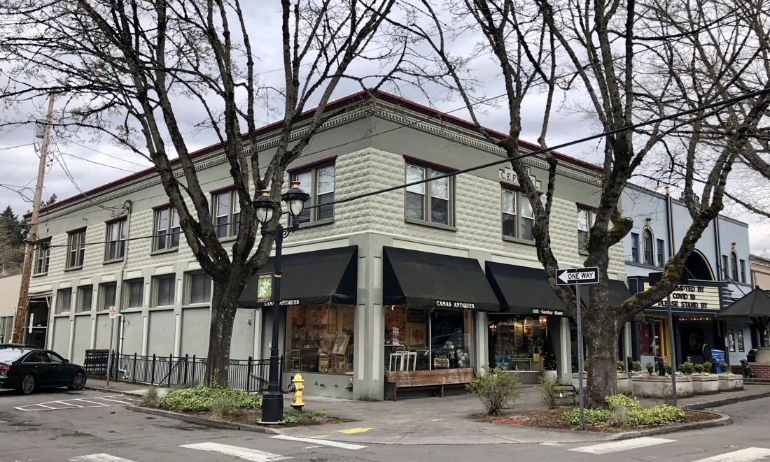
Farrell Building in downtown Camas, Washington, photographed March 26, 2020. Location context; Halloween activity is not pictured.
Public comments are anecdotes: identity and visits are unverified, conditions vary by block, and a post date may differ from the Halloween it describes.